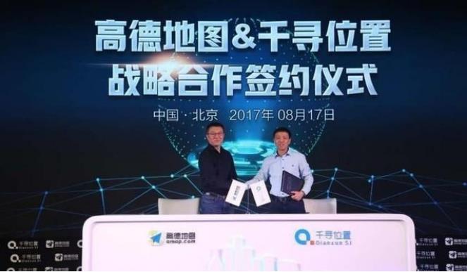
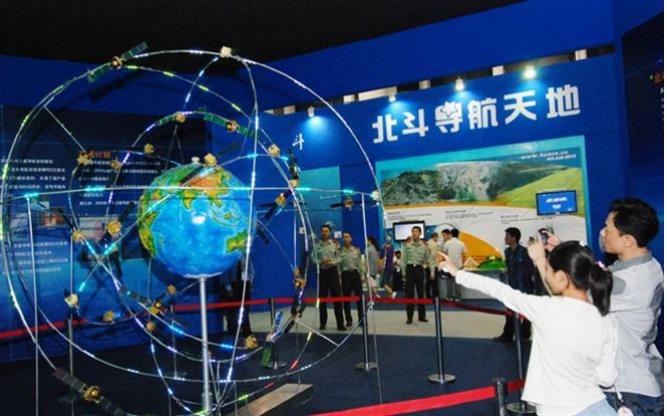
Is it difficult to drive without driver? If there is not such a high threshold, thousands of sails are now competing and innovations are being made. There is hardly any first-line OEM that is not using all sorts of autopilot; if the threshold is not high, why is there no commercial-grade driver? Is it possible that there may be a lack of "digital infrastructure" in the driverless area? Figure and thumbtack Driverless is an application of AI (artificial intelligence). AI is not bad human intelligence. It is very different from the way we think. At least in driving, the maps that AI should “see†are very different from the maps that human drivers are used to seeing. There is an obstacle on the road, and the driver can avoid it in advance if he sees it in time. Artificial intelligence must accurately understand where on the road, the relative coordinates of obstacles and its own, and understand the surrounding environment in order to take appropriate measures. Things that require human prudence and reasoning, AI effortlessly; why human beings do not think about things, AI will have to spend a lot of time, evolution and calculations to each field. Of course, strong artificial intelligence in the distant future is another matter. Right now, high-precision digital maps are the foundation of the latter. Navigation to humans, a difference of 5 meters, 10 meters does not matter, human self-correction; navigation to driverless cars must be accurate to centimeters. The Gaode map has drawn a centimeter-level high-precision digital map of the national expressway, laying the foundation for driverless intercity traffic. Only high-accuracy maps are not enough, and AI still needs to find its real-time location on the map. Yes, every moment. In this way, dynamic and accurate positioning becomes equally important. Gaode recently entered into a strategic cooperation with Chihiro, a global technology leader in precision location services. The two sides jointly provide map + location services. More importantly, centimeter-level maps are matched with centimeter-level dynamic positioning. With maps, they also need a pushpin to indicate locations, but both are digital in real time. Gao De and Chihiro will for the first time create the nation's first "digital infrastructure" based on the national high-speed network. Chihiro and Beidou Positioning is not difficult, everyone's mobile phone built-in GPS chip and software, can be located on the phone map. If you require positioning accuracy is centimeter level? Regardless of mobile phone positioning, or car navigation, are too rough. A difference of 10cm may squash the line, or it may be on the shoulder of a road. It is not good to hit a person and hit a flower or grass. At this time, it was the turn of the professional Beidou navigation location service provider. It is quite different from GPS in terms of global accuracy. After the accuracy of Beidou's signal in the Asia-Pacific region has been enhanced, it will be at least as accurate as the GPS signal in the surrounding areas of China, and the accuracy of the accuracy of the Compass will outweigh the latter. Of course, GPS chips are cheaper and the industrial chain is more complete and complete. Why does Chihiro use Beidou instead of GPS? The original intention of GPS was to serve the U.S. military. Before 2000, GPS had always intentionally “degraded†civilian codes, and its positioning accuracy was tens of meters. This is the notorious “SA policyâ€. However, the use of a simple difference algorithm by the Great God would invalidate the SA of the GPS and eventually cause the GPS operator to cancel this unpopular policy. At the same time, Americans claim that they have the power to turn off GPS signals at any time (although they have never done so), and the Beidou system is launched in this context. And become the world's second global positioning navigation system (Russia's GLONASS system has been a simple network operation). At least Beidou will not threaten our signal at any time. Chihiro uses Beidou system positioning to ensure that it can provide location services at any time. What's more, Chihiro Zhipin relies on 1,450 ground reference stations throughout the country, and can achieve dynamic centimeter-level positioning of satellite signals. Some people say that GPS can achieve static millimeter accuracy. This is a demanding condition: on isolated piles away from the city, 24 hours of continuous measurement, while preventing any moving objects (including observers) from approaching, GPS can achieve millimeter accuracy, but for unmanned applications ,Meaningless. Excessive platform, but good picture From this perspective, Chihiro is both a data producer and a data collector. It collects satellite signals and provides them to the terminal (unmanned vehicle) after solution. At the same time, it collects road signals from the sensors of the unmanned vehicle and shares it with other traffic participants. This is in line with the positioning of Gao De, and the professional roles of the two are just complementary, establishing a high-precision map system for autonomous acquisition + crowdsourcing and automatic production of data. From data discovery, collection, and solution to on-line, the unmanned vehicle travels along a digital road, eventually forming a complete industrial closed loop. This is much more than advocating any empty platform-level plans. Front-line host companies and ICT companies have developed their own platforms. This year, the platform is a bit flooded. Even claiming an open source platform, first-tier vendors and ICT companies are planning to develop their own products without actually participating in them; those second- and third-tier hosting companies that are not capable of developing their own products will not choose the Laussian platform and will directly purchase the auto-driving packages provided by Tier1 suppliers. Do not want to engage in ah. In turn, no matter what kind of unmanned vehicles, if there is no digital map, they can only circle in the backyard. They are not on the road, not only for regulatory reasons, but also because the test site has been digitized and the road outside has not yet done so. They are like children. The reason why they dare not go out alone is not because parents only banned them. Even the out-and-out local intelligent decision-making (such as Google's unmanned vehicle in the road test) is still highly dependent on high-precision digital maps and high-precision positioning, and it is hard to imagine how “beautiful†the consequences of unmanned vehicles are. The cost of high-end Lidars is still high, and solid-state radars are cheap, but they need to be loaded at the same time (for example, four). However, the rotating swept lidar on the roof is still indispensable. Short-range millimeter-wave radar and several cameras. Although some people ironically claim that this is a period of "hardware surplus, software brain damage", it cannot be denied that even if the sensor combination of armed to the teeth, can not exhaust all the road conditions. With high-precision digital maps + precise positioning, this means that all fixed obstacles are no longer a problem, and the task of the unmanned fleet is simplified to find all nearby dynamic targets. The requirement for local intelligence is greatly reduced. At the same time, other traffic participants also carried “maps†and “stamps,†and they could also accurately mark their locations. Just like the current location sharing in mobile phones, the location is shared automatically, accurately, and in real time. It needs to be particularly pointed out that positioning accuracy includes absolute accuracy and relative accuracy, both of which are very important. The relative position accuracy determines how accurately the traffic participants share positions. Chihiro can provide absolute and relatively accurate positions at the same time, nailing a good thumbtack. Moreover, in view of the speed at which the car travels, location sharing is limited to all traffic participants within 2-3 kilometers of the surrounding and is not displayed to the passengers in the car. Privacy issues are stress-free. Expansion of the Beidou C-side force Map mapping in China strictly prohibits the entry of foreign capital. Gao De and Chihiro did not lie on the admission permit to eat monopoly dividends, because local opponents are equally strong and difficult to deal with. Both Chinese and foreign companies have cooperation with car dealers and graphic designers. However, most of them are car manufacturers or hardware manufacturers in the world. They use Road Experience Management System (REM) to complete road data identification and collection. The cooperation between domestic map dealers and auto companies is mostly parallel, and it does not exclude cooperation with third parties. Gao De is no exception. It has complete independence in the mapping of high-precision maps, and it is not necessary to purchase basic data from the bottom-level resource map providers because Gao De itself is the basic map quotient. Gao De is more convenient to unify data interfaces, and all connected host companies use a unified standardized language. Each mapper is rushing to submit a common language system for autonomous vehicles. If it is achieved, it will break the barriers between companies and collect the data in the same format to the cloud to prepare for the "National Map." The first service product that Gaode + Chihiro will launch this year will enrich the choice of B- and C-end users. To lay a solid foundation for Beidou's C-side application. This piece is where GPS is the most different from Beidou. Whether the policy level fully supports this "high-tech combination" is obvious. The Beidou civilian application opens up the situation and serves two purposes with the unmanned digital infrastructure. In the next few years, we must see who can laugh at the end. Aluminium Pcb Sheet,Cheap Aluminium Pcb Sheet,Custom Aluminium Pcb Sheet,Good Aluminium Pcb Sheet Jiangyin Xinren Aluminium Technology Co.,Ltd , https://www.xinrenaluminium.com


October 09, 2024